INDIANAPOLIS | Minor river flooding continued along parts of the lower White River in southern Indiana Thursday morning, with flood warnings tied to the Petersburg and Hazleton gauges affecting portions of Daviess, Gibson, Knox and Pike counties.
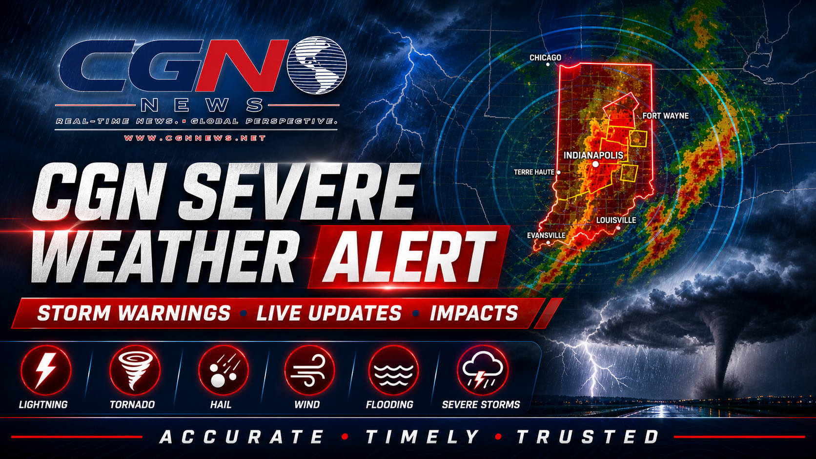
The National Weather Service in Indianapolis said earlier heavy rainfall produced minor flooding on the lower White River and that the flooding was expected to gradually conclude at Petersburg and Hazleton on different timelines. The warning is a river-flooding situation, not a broad new severe-storm outbreak.
That distinction matters. River flooding can remain dangerous after rain ends because water drains downstream slowly. Low agricultural land, river-access roads, boat ramps and areas near levees can remain covered even when skies are dry. Residents should not judge safety only by current weather overhead.
The most important safety rule remains simple: do not drive through water covering a road. The National Weather Service and NOAA repeatedly warn that floodwater depth, road damage and current strength are often impossible to judge from a vehicle. A shallow-looking crossing can hide a washed-out roadway.
People living, working or traveling near the lower White River should monitor the latest NWS river statements, local emergency management updates and road closures. Conditions can vary by gauge and by county. A river may fall at one location while impacts continue downstream.
For nighttime travel, the risk increases because water on roads and near riverbanks can be harder to see. Farmers, delivery drivers, school transportation planners and anyone using rural routes should allow extra time and avoid low-lying crossings until officials confirm they are open.
This alert should not be read as a forecast for widespread severe thunderstorms across the entire state. Central Indiana's broader forecast remains mainly dry and seasonable through Thursday night, with rain chances returning Friday and warmer weather building into the weekend. The flood concern is tied to ongoing river response from earlier rainfall.
Residents can check weather.gov, NOAA river gauges and county emergency management channels for the latest statements. If a warning expires before publication or if local impacts end, this story should be converted from an active alert into a weather update rather than presented as live emergency coverage.
Additional Reporting By: National Weather Service Indianapolis; NOAA; NWS flood safety guidance; Iowa Environmental Mesonet/NWS alert archive