INDIANAPOLIS | A strong line of thunderstorms crossed Indiana overnight with the potential for damaging winds, heavy rainfall, small hail and isolated tornadoes, leaving residents to assess damage while official flood and hazardous-weather products remained in effect Friday morning. The most dangerous part of the line had moved east of many communities by daybreak, but the public-safety phase was not over. High water, fallen trees, blocked roads and downed utility lines can cause injuries after radar conditions improve.
The National Weather Service Indianapolis office listed a Flood Warning and Hazardous Weather Outlook on its current hazards page at 9:08 a.m. EDT. Earlier official briefing information identified wind gusts in the 60 to 70 mph range as a principal threat, along with heavy rain, small hail and the possibility of isolated tornadoes. Warning coverage changes rapidly, so residents should use the latest county-specific NWS information rather than assume an earlier alert remains unchanged.
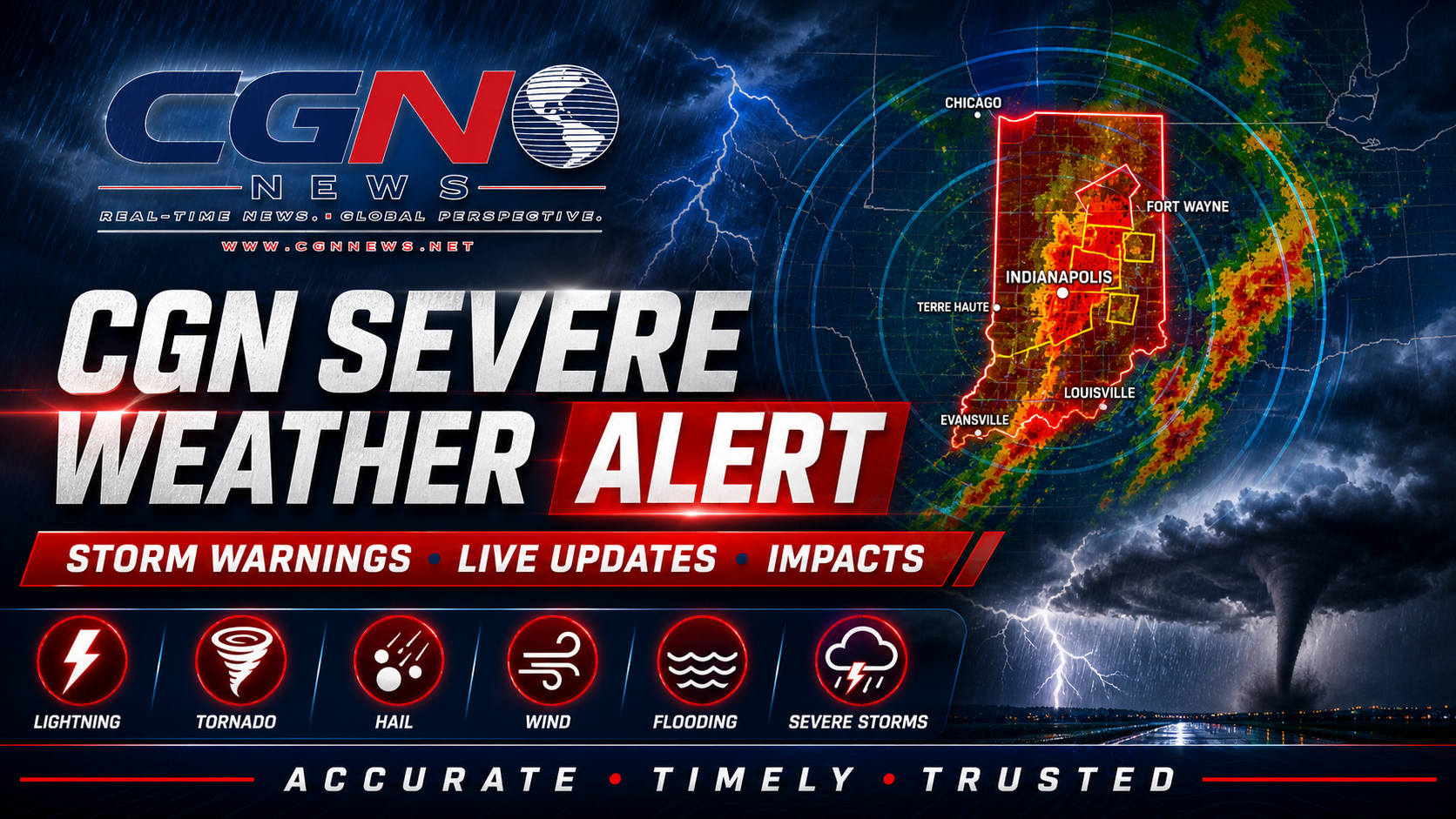
FOX59 provided live coverage as the storm line crossed the state, tracking warnings and reports from communities in its path. Broadcast and social-media coverage can help residents understand where damage is being reported, but the National Weather Service remains the authoritative source for watches and warnings. Emergency-management and utility updates are the best sources for road closures, shelter information and restoration estimates.
Straight-line winds can damage roofs, overturn unsecured objects and bring down trees with effects similar to a weak tornado. Mature trees are especially vulnerable when soil is saturated. People should avoid standing beneath damaged limbs during cleanup and should not use chainsaws or ladders near electrical lines. Property damage can wait until the area is confirmed safe.
Flooding may continue where repeated storms produced rapid runoff. Water can conceal washed-out pavement, debris and moving current. The standard rule remains essential: turn around, do not drown. Drivers should not enter a flooded road even when another vehicle appears to cross successfully, because water depth and road condition can change within a few feet.
Power outages create secondary hazards. Portable generators must operate outdoors and away from doors, windows and vents because carbon monoxide can accumulate without warning. Refrigerated food should remain in closed appliances as long as possible. People who rely on powered medical devices should contact their utility, emergency services or a designated support location if backup power is limited.
Anyone who experienced structural damage should photograph conditions from a safe location and contact local authorities, insurers or property managers as appropriate. Do not enter a building with visible foundation movement, major roof failure, a gas odor or standing water near electrical systems. Fire departments and building officials can determine whether immediate evacuation or inspection is necessary.
Storm reports are preliminary until the National Weather Service completes surveys. A tornado classification requires evidence of a rotating damage path and may not be confirmed from photographs alone. Conversely, the absence of a visible funnel does not mean wind damage was insignificant. Residents should report time, location and observed effects accurately without exaggerating the cause.
The Storm Prediction Center’s outlook and local NWS forecasts should guide any remaining severe-weather concern. Conditions behind the line were expected to improve, but additional thunderstorms later in the weekend could affect cleanup or outdoor events. A new watch or warning would replace the general information in this alert and should be followed immediately.
Schools, workplaces and event organizers should review how warnings were received overnight. Wireless Emergency Alerts, NOAA Weather Radio and trusted local notifications provide redundancy. Outdoor sirens are designed mainly to warn people outside and may not be audible indoors. A household should have at least two reliable ways to receive alerts, especially while sleeping.
The safest posture Friday is cautious recovery rather than alarm. The main line has passed many locations, but official flood products and unresolved damage justify continued vigilance. Avoid affected areas unless travel is necessary, give utility and emergency crews room to work and verify information before sharing it.
Additional Reporting By: FOX59; National Weather Service Indianapolis; NOAA Storm Prediction Center; NWS Indianapolis flood safety