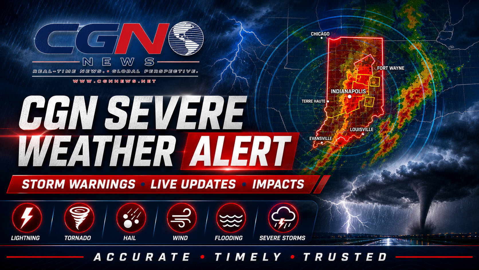
INDIANAPOLIS | Active river flood warnings remain the main official weather alert for parts of Indiana Saturday, even as Indianapolis itself starts the day without hazardous weather expected today or tonight. The National Weather Service says minor flooding is occurring or forecast along portions of the Wabash River and the East Fork White River, while a separate outlook warns that storms Sunday afternoon into Sunday night could produce heavy rain, damaging winds and isolated tornadoes.
What is active now
The current warning package includes minor flooding along the Wabash River at Covington, Terre Haute and Riverton, along with the East Fork White River at Seymour. The warnings are river-focused, meaning the main concern is water already in the basin and additional runoff that can keep lowland flooding in place.
Impacts listed by the National Weather Service include flooded agricultural land, blocked access near river cottages, water rising in low areas and continued minor flooding near river points. People with interests along affected rivers should monitor official river forecasts through the weekend.
What is not happening today
For Indianapolis and central Indiana, the Saturday Hazardous Weather Outlook says no hazardous weather is expected today or tonight. That means this alert is not a tornado warning, severe thunderstorm warning or flash flood warning for Indianapolis.
Saturday should still be treated as a cleanup and monitoring day after earlier rainfall. Drivers should watch for water over low roads, especially away from Indianapolis and closer to rivers, creeks and agricultural lowlands.
Sunday brings the next risk
The next concern arrives Sunday afternoon into Sunday night. The National Weather Service expects thunderstorms, with some severe storms possible. Damaging winds and isolated tornadoes are listed as the primary severe-weather threats, while moderate to heavy rain could cause localized flooding and increase current minor river flooding.
That means people near flood-prone roads and river bottoms should use Saturday to prepare. Outdoor plans Sunday should include a weather backup, a way to receive warnings and a safe indoor location if thunder is heard or warnings are issued.
Safety
Do not drive through floodwater. Water can be deeper than it appears, and roads may be damaged beneath the surface. Keep children and pets away from flooded drainage areas, creeks and riverbanks.
Because storms are expected Sunday, keep wireless emergency alerts enabled and check the forecast again before travel, outdoor events or river recreation. This alert should be updated if new watches, warnings or advisories are issued.
Additional Reporting By: National Weather Service Flood Warnings; National Weather Service Indianapolis Hazardous Weather Outlook; National Weather Service Indianapolis; NOAA.