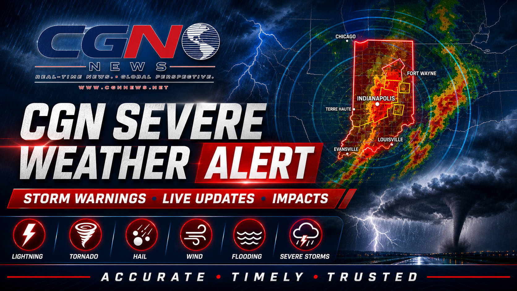
ST. LOUIS | An active Severe Thunderstorm Warning is in effect for St. Louis City and St. Louis County. CGN News is publishing this alert because official National Weather Service alert data includes one or more CGN coverage areas: St. Louis City, Missouri and St. Louis County, Missouri.
What is active now
The primary active alert is Severe Thunderstorm Warning with NWS severity listed as Severe, urgency listed as Immediate and certainty listed as Observed.
The alert became effective 25 June 2026 at 4:39 PM EDT. The current listed expiration or ending time is 25 June 2026 at 5:30 PM EDT. Readers should rely on the latest county-specific National Weather Service alert before making safety decisions.
Current official alerts
Severe Thunderstorm Warning: NWS lists the affected area as St. Charles, MO; St. Louis, MO. Current listed expiration or ending time: 25 June 2026 at 5:30 PM EDT.
Flood Watch: NWS lists the affected area as Greene; Macoupin; Montgomery; Bond; Fayette; Clinton; Marion; Washington; Randolph; Pike; Calhoun; Jersey; Madison; St. Clair; Monroe; Pike; Boone; Audrain; Moniteau; Cole; Osage; Callaway; Montgomery; Lincoln; Gasconade; Warren; St. Charles;…. Current listed expiration or ending time: 26 June 2026 at 8:00 PM EDT.
Coverage area
This CGN alert covers St. Louis City, Missouri and St. Louis County, Missouri. Nearby communities may experience different conditions, and warnings can change quickly.
Safety
Move indoors when thunder is heard or when warnings are issued. Damaging wind and large hail can break windows, damage roofs, bring down trees and power lines, and make travel dangerous.
Official instruction
Seek shelter inside a well-built structure and stay away from windows. This storm is capable of producing damaging winds and large hail.
This alert should be updated if the National Weather Service issues, cancels, extends or replaces the active alert. Do not rely on this article alone for emergency decisions. Keep wireless emergency alerts enabled and monitor official NWS, NOAA, local emergency management and trusted local broadcast sources.
Additional Reporting By: National Weather Service; NOAA; National Weather Service St. Louis