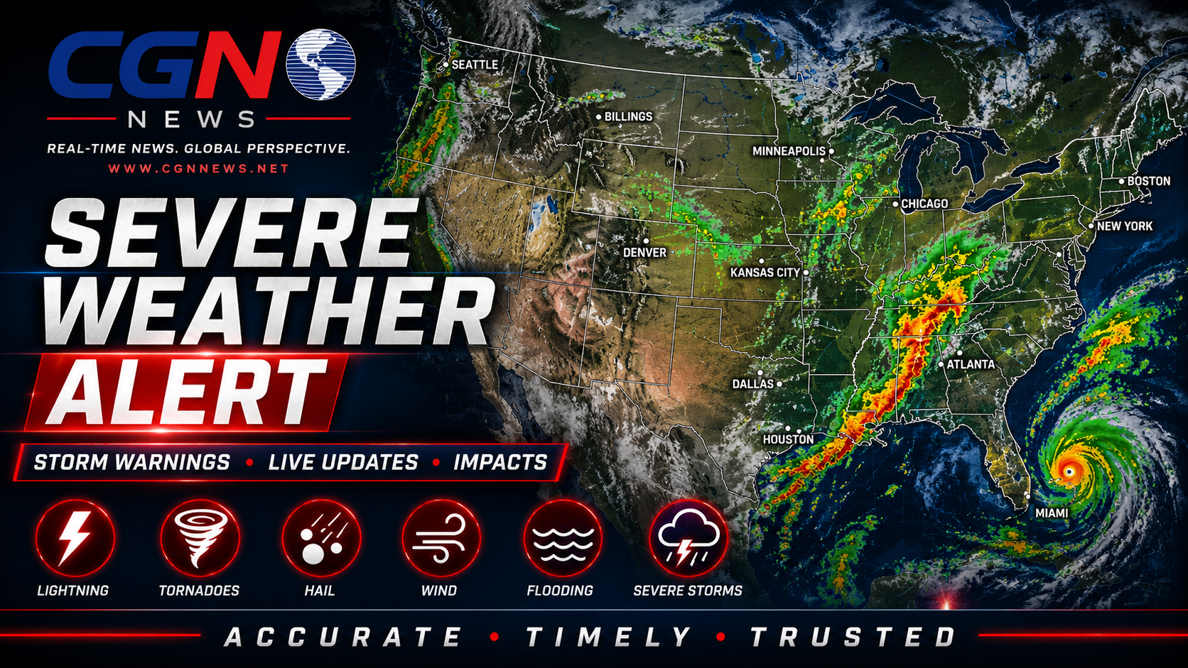
PHILADELPHIA | Flash Flood Warning remains the active weather headline for Philadelphia and Philadelphia County, according to official National Weather Service alert data reviewed by CGN News. This article is a public-safety planning brief, not a substitute for live emergency instructions, and readers should keep checking official alerts because advisories and warnings can change quickly.
What is active now
The active alert is Flash Flood Warning for Philadelphia and Philadelphia County. CGN News is publishing this update because the official alert data includes one or more CGN coverage areas and because heat, flooding or storm-related hazards can affect travel, work, schools, events and vulnerable households even when conditions vary block by block.
NWS metadata lists this alert as Severe. That metadata helps readers understand how the alert is categorized, but immediate decisions should be based on the current official warning, advisory, statement or cancellation for the county where the reader is located.
The alert is effective 28 June 2026 at 7:51 PM EDT and listed to expire or end 28 June 2026 at 10:45 PM EDT. Expiration times can change if the Weather Service extends, replaces or cancels the product.
Current official alerts
Flash Flood Warning: NWS lists the affected area as Burlington, NJ; Camden, NJ; Gloucester, NJ; Delaware, PA; Montgomery, PA; Philadelphia, PA. Current listed expiration or ending time: 28 June 2026 at 10:45 PM EDT.
Coverage area
This CGN alert covers Philadelphia and Philadelphia County. Nearby counties and communities may have different alert levels, different timing or no active alert at all. Readers should check the latest county-specific NWS information before travel, outdoor work, medical appointments, sports, public events, childcare decisions or overnight planning.
Safety guidance
Do not drive through floodwater. Water can be deeper than it appears, and roads may be damaged beneath the surface. Keep children and pets away from flooded creeks, ditches, drainage areas and riverbanks.
Flash flooding can become dangerous quickly because water may rise before a driver, pedestrian or property owner recognizes the depth or speed of the flow. Low-water crossings, underpasses, creek-adjacent roads, parking lots and drainage areas can become hazardous even when rain has eased nearby.
Drivers should never use a flooded road as a shortcut. If a route is blocked by water, turn around and choose another route. Public-safety instructions, barricades and road-closure signs control over convenience, navigation apps or old travel habits.
Official instruction
Turn around...don't drown when encountering flooded roads. Most flood deaths occur in vehicles.
What remains unclear
A weather alert confirms that official criteria or expected conditions support the product, but it does not mean every neighborhood will experience the same impact at the same time. Local drainage, tree cover, building cooling, pavement, elevation, storm track and access to transportation can all affect the risk a reader faces.
What to watch next
Watch for updated NWS statements, local emergency-management messages, school or event announcements, road-condition updates and any replacement alert. If the alert is cancelled, extended or upgraded, readers should rely on the newer official product rather than this article alone.
Update note: This article has been refreshed for CGN style, source attribution and public-safety clarity. The alert type, listed coverage area and timing remain tied to the official weather source material cited below.
Additional Reporting By: National Weather Service; NOAA; National Weather Service Philadelphia/Mount Holly