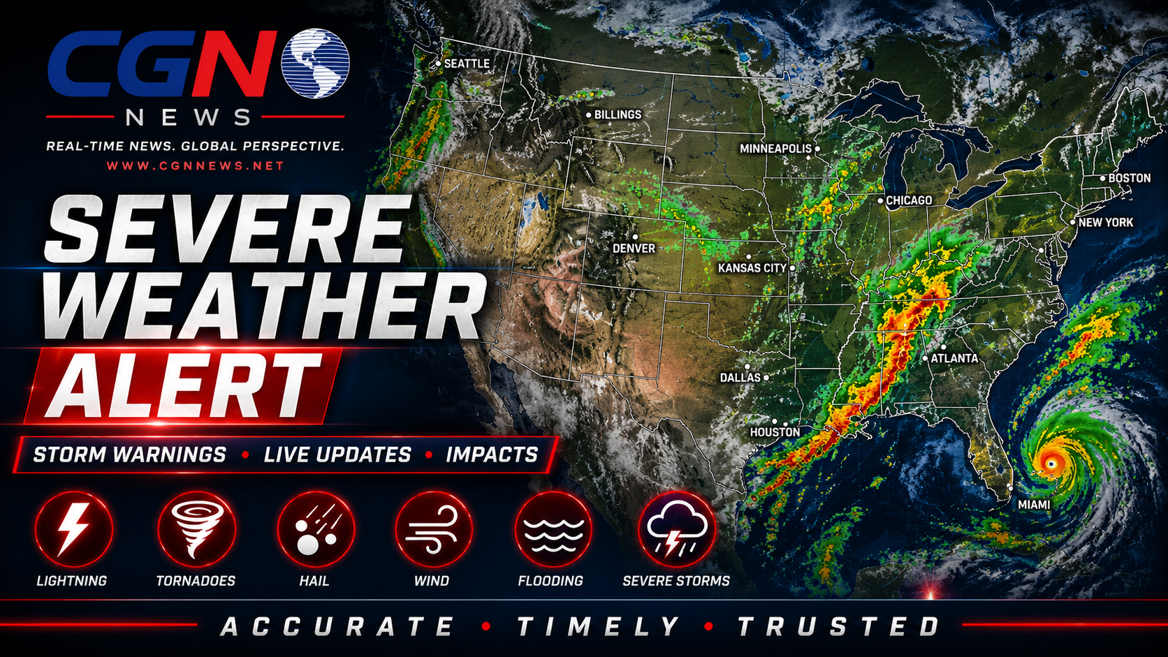
PHILADELPHIA | An active Severe Thunderstorm Warning is in effect for Philadelphia and Philadelphia County. CGN News is publishing this alert because official National Weather Service alert data includes one or more CGN coverage areas: Philadelphia County, Pennsylvania.
What is active now
The primary active alert is Severe Thunderstorm Warning with NWS severity listed as Severe, urgency listed as Immediate and certainty listed as Observed.
The alert became effective 4 July 2026 at 8:25 PM EDT. The current listed expiration or ending time is 4 July 2026 at 9:30 PM EDT. Readers should rely on the latest county-specific National Weather Service alert before making safety decisions.
Current official alerts
Severe Thunderstorm Warning: NWS lists the affected area as Berks, PA; Bucks, PA; Chester, PA; Delaware, PA; Montgomery, PA; Philadelphia, PA. Current listed expiration or ending time: 4 July 2026 at 9:30 PM EDT.
Severe Thunderstorm Watch: NWS lists the affected area as Kent, DE; New Castle, DE; Sussex, DE; Caroline, MD; Kent, MD; Queen Anne's, MD; Talbot, MD; Atlantic, NJ; Burlington, NJ; Camden, NJ; Cape May, NJ; Cumberland, NJ; Gloucester, NJ; Hunterdon, NJ; Mercer, NJ; Middlesex, NJ; Monmouth, NJ; Morris, NJ;…. Current listed expiration or ending time: 4 July 2026 at 11:00 PM EDT.
Coverage area
This CGN alert covers Philadelphia County, Pennsylvania. Nearby communities may experience different conditions, and warnings can change quickly.
Safety
Move indoors when thunder is heard or when warnings are issued. Damaging wind and large hail can break windows, damage roofs, bring down trees and power lines, and make travel dangerous.
Official instruction
For your protection move to an interior room on the lowest floor of a building. In addition to damaging winds, frequent cloud to ground lightning is occurring with these storms. Move indoors immediately. Remember, if you can hear thunder, you are close enough to be struck by lightning. Torrential rainfall is occurring with these storms, and may lead to flash flooding. Do not drive your vehicle through flooded roadways.
This alert should be updated if the National Weather Service issues, cancels, extends or replaces the active alert. Do not rely on this article alone for emergency decisions. Keep wireless emergency alerts enabled and monitor official NWS, NOAA, local emergency management and trusted local broadcast sources.
Additional Reporting By: National Weather Service; NOAA; National Weather Service Philadelphia/Mount Holly